Gateway Land Survey Navigation
  • Land Survey
    • Civil & Design Surveys
    • Energy & Corridor Surveys
    • Commercial & ALTA Surveys
    • Environmental Surveys
    • Residential Surveys
    • Projects & Insights
  • Careers
  • Land Survey
    • Civil & Design Surveys
    • Energy & Corridor Surveys
    • Commercial & ALTA Surveys
    • Environmental Surveys
    • Residential Surveys
    • Projects & Insights
  • Careers
Home Projects & Insights LiDAR

Tag Archive

Below you'll find a list of all posts that have been tagged as “LiDAR”

3D Building Scan

LiDAR Registration: The Reality Behind Automation Claims

LiDAR registration isn’t fully automatic. Proper planning, QC, and expertise are essential to avoid errors and ensure accurate, high-quality results.

3D ScanningLiDARTerrestrial Scanning
3D SCAN, INDUSTRIAL FACILITY, OIL AND GAS FACILITY, REALITY CAPTURE

3D Scanning for Facility Relocation

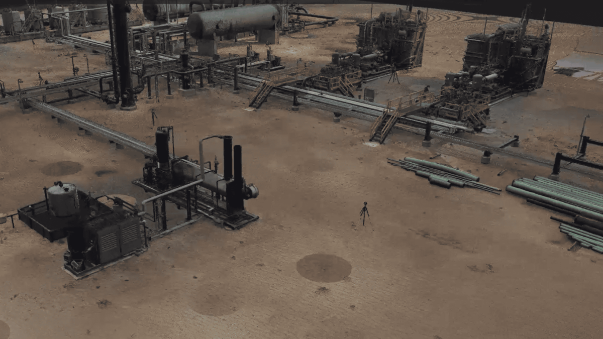
Discover how 3D terrestrial scanning enabled the seamless relocation of an oil & gas facility, ensuring precision, efficiency, and reduced downtime.

3D ScanningLiDARTerrestrial Scanning

Projects & Insights

  • Parcel Maps
    Defining Your Property: Why a Professional Boundary Survey is Worth It
  • 3D Building Scan
    LiDAR Registration: The Reality Behind Automation Claims
  • 3D SCAN, INDUSTRIAL FACILITY, OIL AND GAS FACILITY, REALITY CAPTURE
    3D Scanning for Facility Relocation
  • Wasted Money, Low Cost Survey
    The True Cost of Low-Cost Surveying
  • Water Treatment Plant
    Surveying for Stronger Infrastructure
  • Docs
  • Directory
  • IT Support
Texas Registration: Edmond, OK - #10194266