RESIDENTIAL
SURVEYS
RESIDENTIAL
SURVEYS

QUALITY · COMMITMENT · RELIABILITY

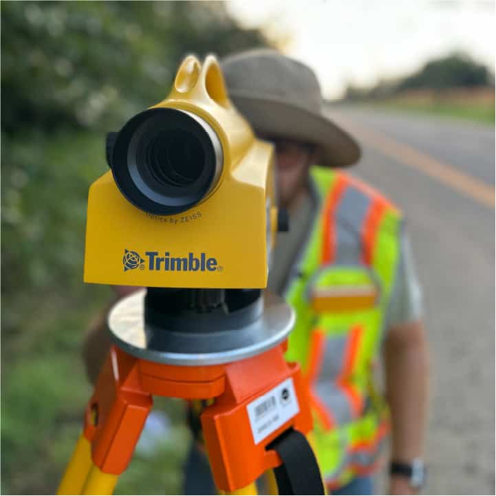
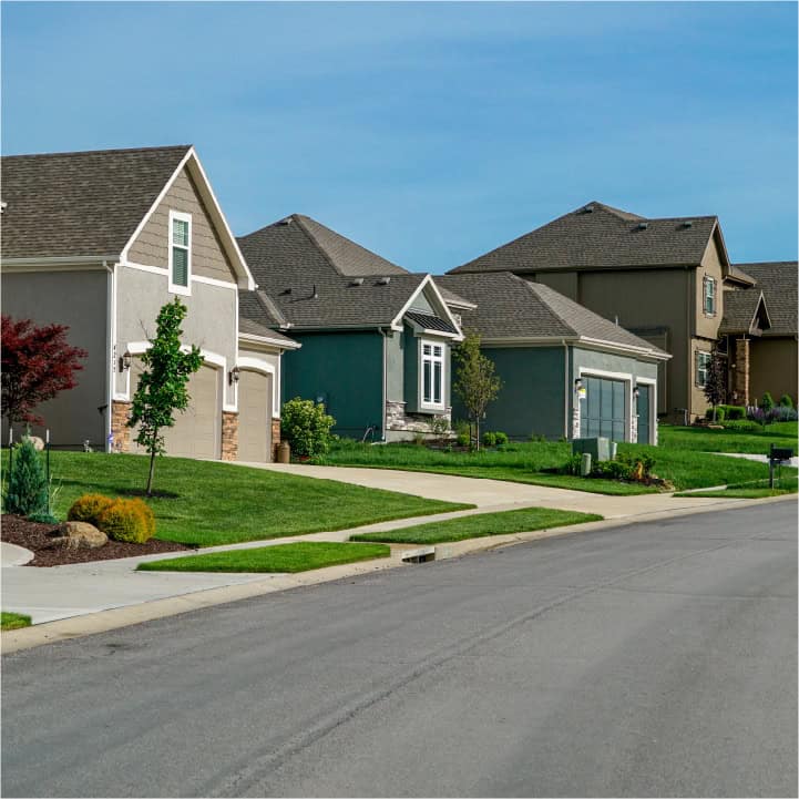
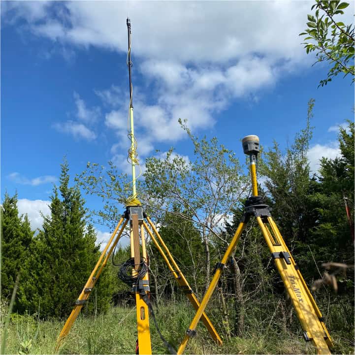
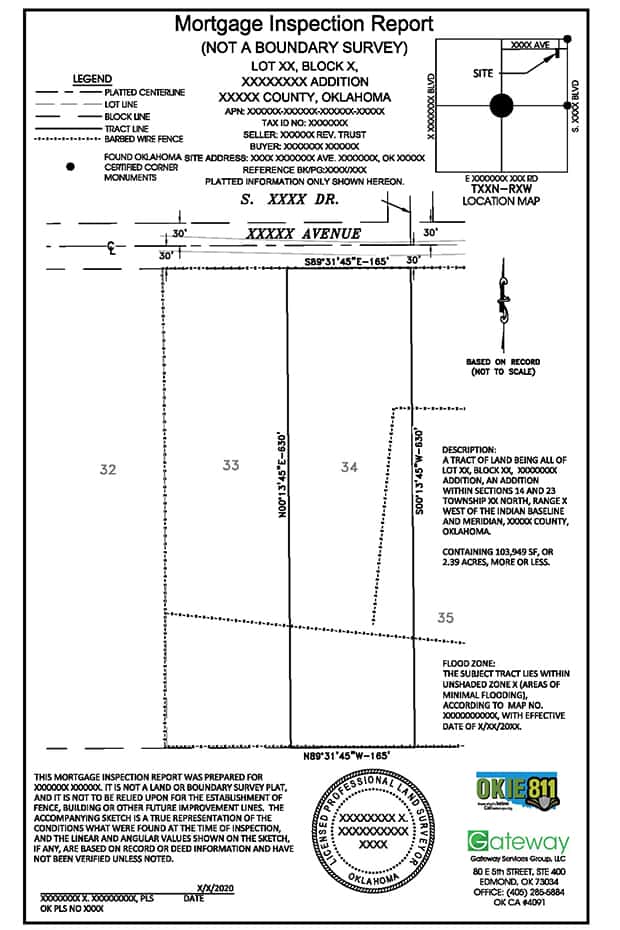
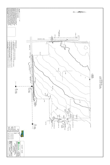
At Gateway, we offer specialized Residential Survey services designed to support homeowners, potential buyers, and residential developers. Our expert team provides Boundary Surveys to accurately establish parcel limits, ensuring clarity and preventing possible disputes with neighbors or local authorities. We also conduct Topographic Surveys that detail the land's natural and man-made features, vital for planning home additions, landscaping, or any construction projects. Additionally, our Lot Split Surveys are essential for those looking to divide their property, simplifying the process and ensuring compliance with local zoning laws. Whether you’re buying a new home, planning a renovation, or developing residential land, our precise surveys provide the foundational data you need for peace of mind and successful outcomes.
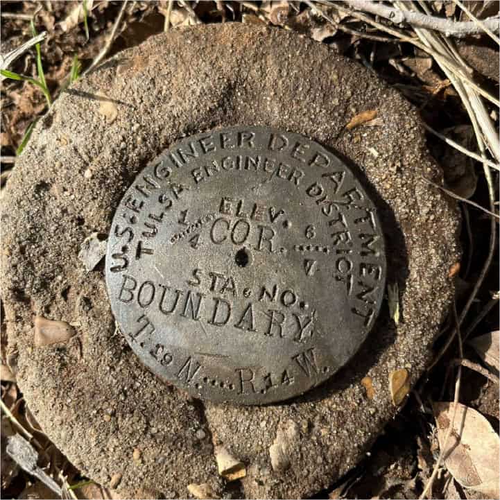
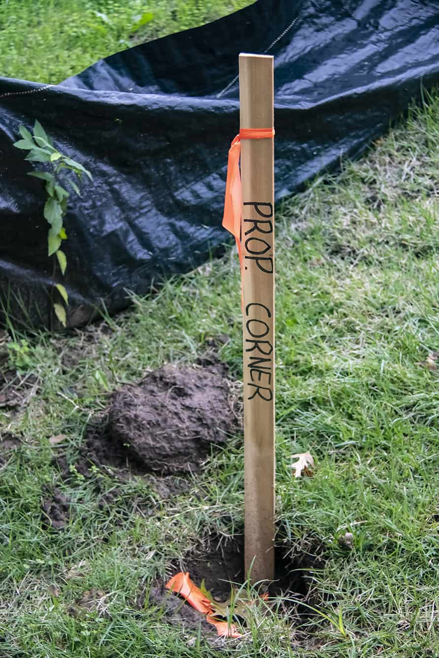
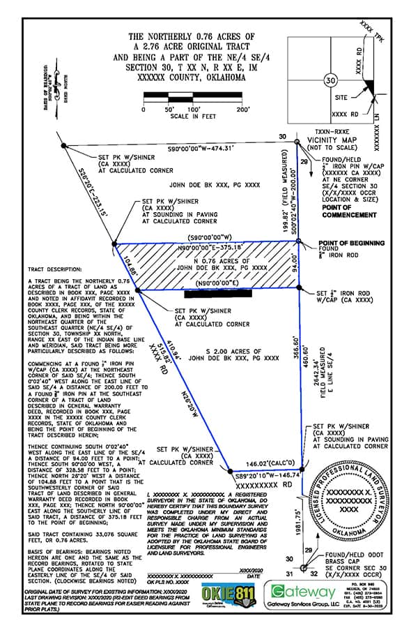
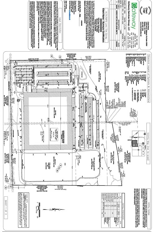
BOUNDARY SURVEYS

LOT SPLIT SURVEYS

TOPOGRAPHIC SURVEYS

BOUNDARY MARKER
RESIDENTIAL NEIGHBORHOOD
SURVEY EQUIPMENT
SURVEY MARKER

How do I Know Which Survey fits my Needs?

We've listed some of our most common residential surveys below. If you're not sure what type of survey you need, we'd be happy to help you. You can contact us below via email or call our office at

405-285-5884

Boundary Survey with Plat

Property Corner, Land Survey, Survey Marker

Selling or buying a parcel of land?  Most lenders require a boundary survey with a plat signed by a licensed surveyor.

Mortgage Inspection Certificate

Mortgage Inspection Report, Mortgage Inspection Certificate

A mortgage Inspection report is for the use of the title company or lender in property transfer.

Fence & Construction Staking

Fence, Fence Staking Survey

Where does my property end and where does my neighbors begin?

Site Planning Survey

Engineer, Site Planning Survey

This is a combination of boundary and topographic surveys. A site planning survey is typically used for designing roads, subdivisions, etc.

Topographic

Survey

Topo Plat, Topographic example, Contour lines

Topographic surveys are used to establish elevations and relief.  This type of survey can be utilized for site plans or new construction.

Lot Split Surveys

Lot Split Plat, Lot Split Survey

Lot splits and consolidations can be used to divide and consolidate land per county regulations and according to your specifications.

Elevation Certificates

FEMA Elevation Certificate, Elevation Certificate

Used for community floodplain management compliance, determining proper flood insurance rates, and supporting requests for Letter of Map Amendment (LOMA) and Letter of Map Revision (LOMR).

ALTA/NSPS   Survey

ALTA Plat, ALTA/NSPS, ALTA Survey
An ALTA survey is most commonly used for commercial property transfers or refinance.

Request a Professional
Land Survey Quote Today!

LAND SURVEYOR
405.285.5884
CALL US