Discover how 3D terrestrial scanning enabled the seamless relocation of an oil & gas facility, ensuring precision, efficiency, and reduced downtime.
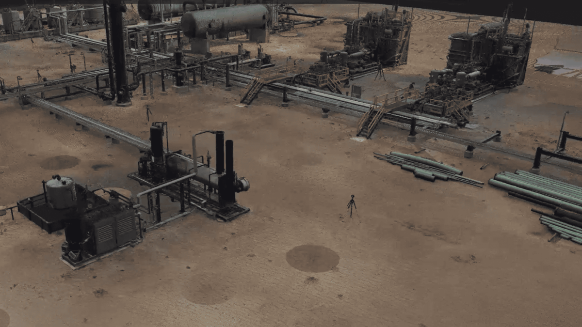
Discover how 3D terrestrial scanning enabled the seamless relocation of an oil & gas facility, ensuring precision, efficiency, and reduced downtime.
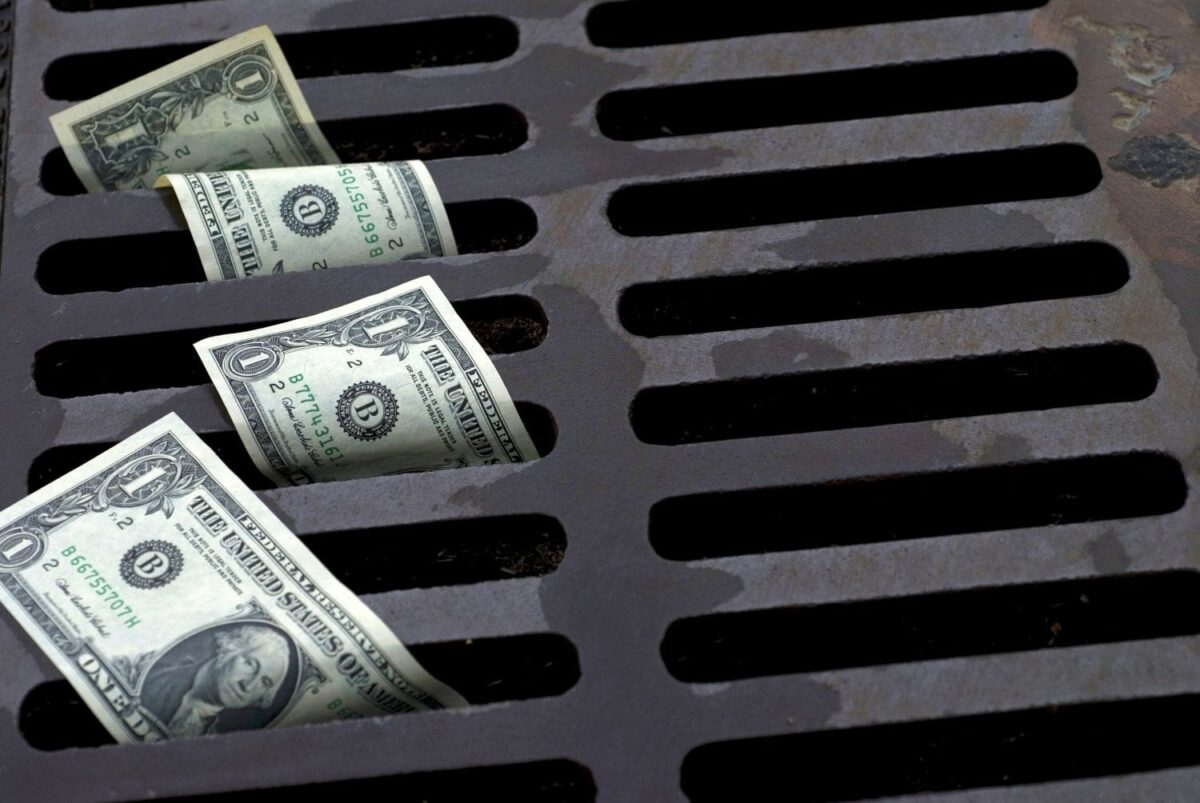
Why Cutting Corners Can Cost You More In an industry where speed and low prices often take center stage, it’s tempting to choose the most budget-friendly option for land surveying, geospatial data acquisition, 3D scanning, and drone LiDAR mapping. However, cutting costs on these services can lead to inaccuracies, delays, legal risks, and expensive rework—all of which outweigh the initial …
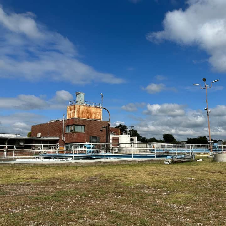
Quality land surveying is key to reliable water and sewer infrastructure. Learn how accurate data supports efficient utility design.