Embracing Challenges in Land Surveying
Most land surveyors are up for a challenge. I think it’s ingrained in our DNA, driving our curiosity from one project to the next. Whether we’re working on boundary surveys, topographic mapping, or 3D terrestrial scanning, each job presents unique complexities that demand innovative solutions.
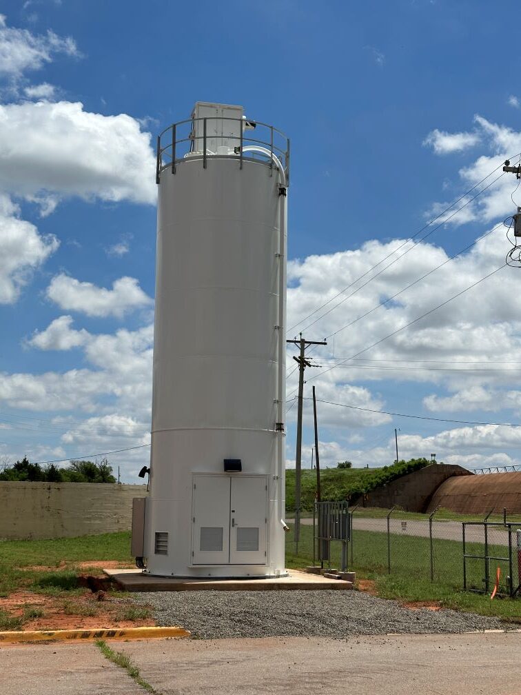
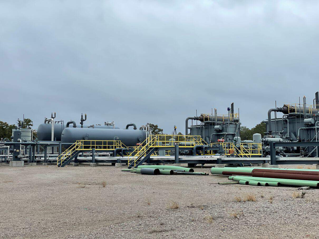
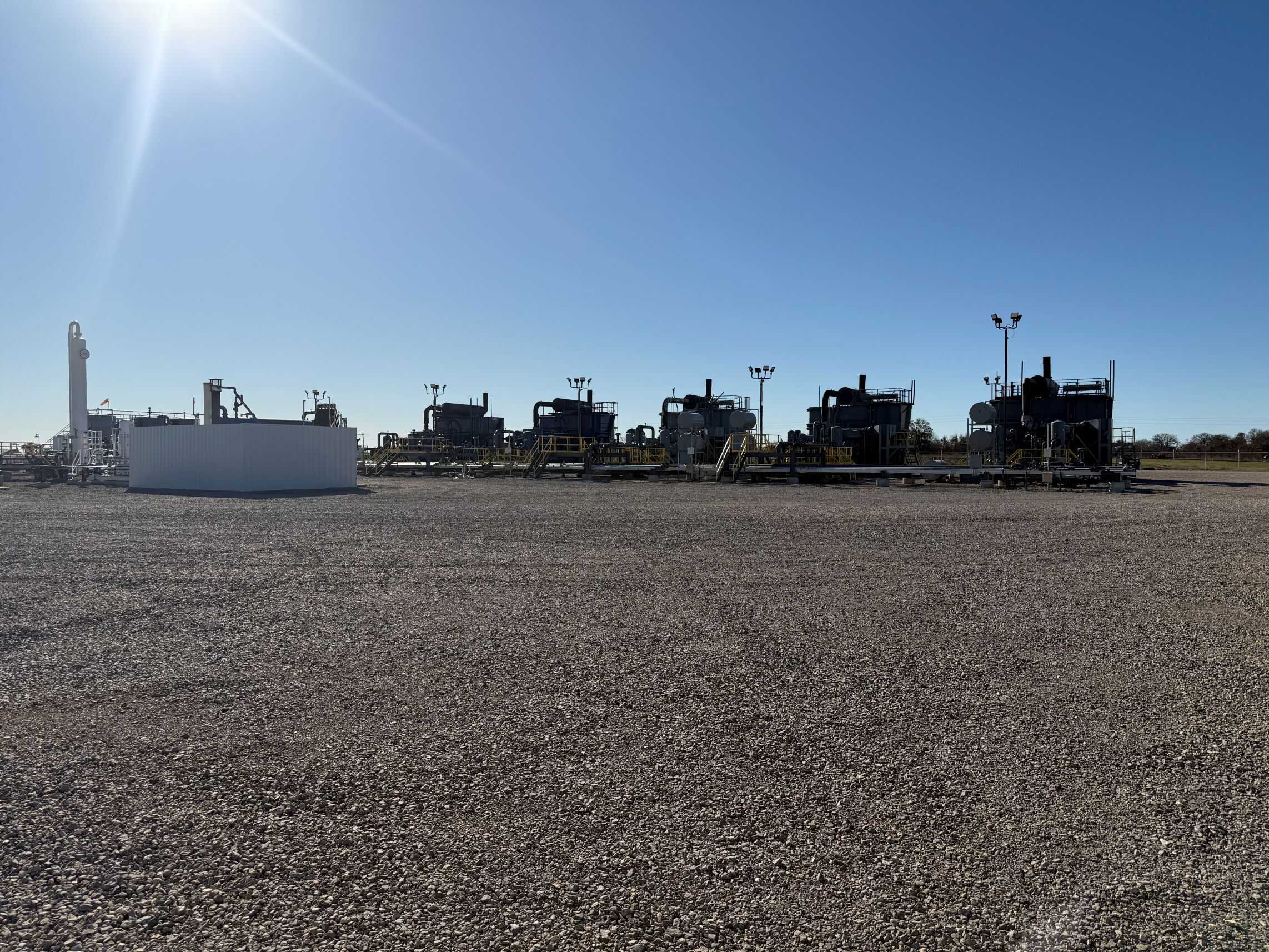
A client approached me with a unique challenge after acquiring an unused oil and gas facility. Their goal was to relocate it to a new site for more productive use. Their primary concern was understanding the exact quantity of pipe and equipment at the facility and determining how the infrastructure—pipeline supports, concrete pads, and other critical components—was positioned relative to the existing layout.
The Challenge: A Facility on the Move
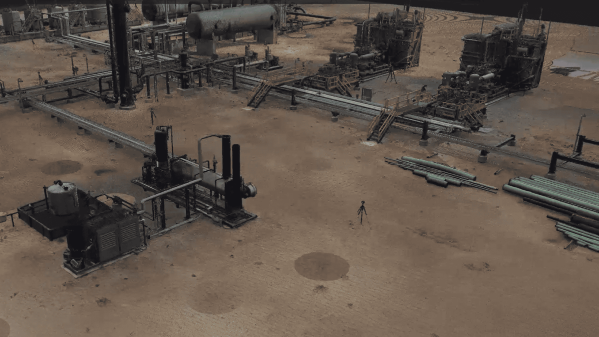
The client’s vision was ambitious: they wanted to “pick up” the facility and reinstall it at a new location where it would be more valuable to their operations. This required precise documentation of every asset at the site, ensuring that all components could be dismantled, transported, and reconstructed as seamlessly as possible. Traditional surveying methods would have been time-consuming and less comprehensive, so I knew right away that a high-resolution 3D terrestrial scan would be the best approach.
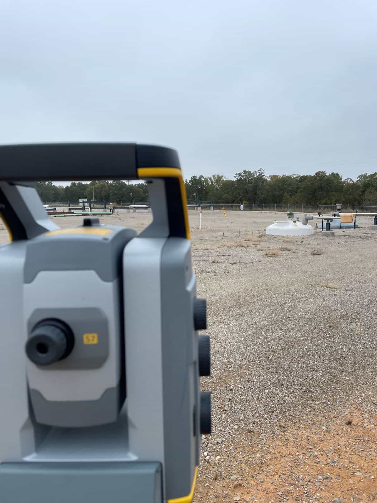
Deploying 3D Terrestrial Scanning
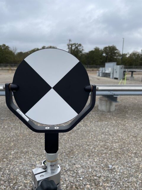
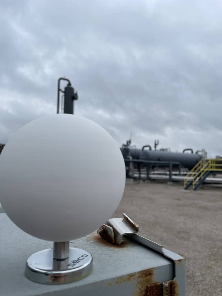
Before beginning the 3D terrestrial scanning, I first established control using standard land surveying principles to ensure accuracy and consistency throughout the project. This provided a stable reference framework for the scan data, minimizing positional errors and ensuring that all scans aligned correctly. By establishing a reliable control network first, I could confidently register multiple scans together, producing an accurate and georeferenced point cloud that the client could use for precise measurements and relocation planning.
One of the biggest advantages of using 3D scanning for this project was its ability to:
- Measure and quantify assets with millimeter-level accuracy – ensuring nothing was left unaccounted for.
- Capture complex infrastructure layouts – particularly pipeline supports and foundations, which are critical for the relocation process.
- Provide a digital model for pre-planning – allowing engineers to assess potential challenges before physically moving anything.
Once the scanning was complete, I processed the point cloud data to generate detailed reports and 3D visualizations. The client was able to use this data to:
- Inventory all pipes, equipment, and structural components.
- Plan disassembly in a logical, organized manner.
- Reduce downtime and avoid unexpected obstacles during reinstallation.
We also established a detailed drawing file with the surveyed locations of all concrete supports that needed to be reconstructed at the new facility. Once the client completed site grading, we staked out the new pier locations to ensure precise reconstruction using the existing materials and components. The facility was successfully relocated and rebuilt using the comprehensive scan data, ensuring accuracy throughout the process.
The Value of 3D Scanning in Industrial Relocation
This project reinforced the importance of modern surveying technology in industrial applications. Without 3D terrestrial scanning, manually measuring and documenting every pipe and support would have been not only time-intensive but also prone to human error. Instead, the client received a comprehensive, data-rich model that streamlined the entire process.
As surveyors, we thrive on solving real-world challenges, and this project was a perfect example of how technology is reshaping our industry. The ability to provide clients with precise, actionable insights using cutting-edge scanning techniques makes surveying more valuable than ever.
Whether it’s boundary work, topographic mapping, or complex industrial projects, the right tools—and the right expertise—make all the difference.
Unlock the Power of 3D Scanning for Your Next Project
Precision and efficiency are critical when relocating complex industrial facilities. With 3D terrestrial scanning, you get millimeter-level accuracy, actionable data, and a seamless relocation process. If you’re facing a challenging project that demands high-accuracy surveying and digital modeling, let’s talk.
Contact us today to see how advanced scanning technology can streamline your project and ensure success from planning to execution.
