
Why Cutting Corners Can Cost You More
In an industry where speed and low prices often take center stage, it’s tempting to choose the most budget-friendly option for land surveying, geospatial data acquisition, 3D scanning, and drone LiDAR mapping. However, cutting costs on these services can lead to inaccuracies, delays, legal risks, and expensive rework—all of which outweigh the initial savings.
Example: A Costly Elevation Error in Site Grading.
An engineering team was designing a stormwater drainage system for a commercial development. They received survey data from a low-cost provider and used it to calculate slopes, drainage paths, and retention pond elevations. Everything seemed correct—until the site was graded, and the first heavy rainfall hit.
The problem? The survey data had elevation errors of just a few inches. The retention pond overflowed because the outfall elevation was too high, preventing proper drainage. Water pooled in unintended areas, flooding adjacent properties and putting the developer at risk for legal action.
Now, the engineering firm was forced to redesign the drainage system—a process that required costly earthwork corrections, regulatory reapproval, and construction delays. What seemed like a small survey inaccuracy turned into a major engineering failure that could have been avoided with high-quality, precise data from the start.

Choosing quality over cost isn’t just a preference—it’s a necessity.
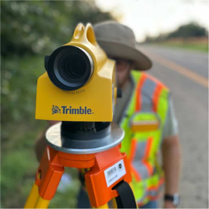
1. Reliability Requires Investment
Low-cost providers often promise reliable results, but many lack the expertise, advanced technology, and rigorous quality control necessary for accuracy. Small errors in land surveying can escalate into major project delays or legal complications.
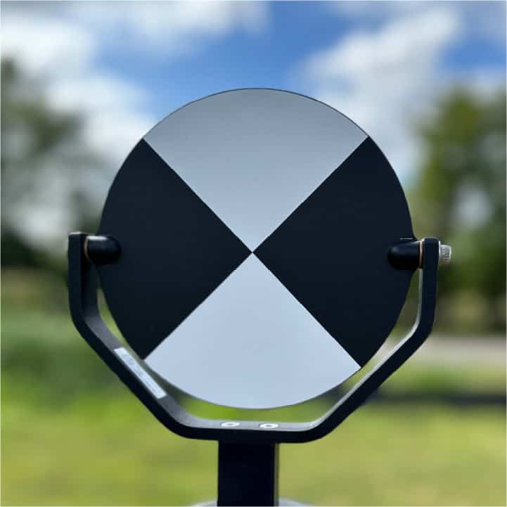
For instance, in drone LiDAR mapping, several factors determine accuracy:
- Sensor quality
- Proper ground control and independent survey verification
- The expertise of the operator processing the data
If any of these factors are compromised due to cost-cutting measures, the final dataset may contain gaps or inconsistencies that undermine an entire project.
2. The Hidden Costs of Budget Choices
While a lower upfront cost may seem appealing, the hidden expenses of poor-quality work often far exceed the savings.
Common risks include:
- Project Delays – Inaccurate or incomplete data may require recollection or correction, slowing progress.
- Legal Risks – Errors in boundary or elevation data can lead to regulatory violations or property disputes.
- Double Spending – Many clients end up hiring a second provider to fix errors, doubling their costs.
For example, imagine commissioning a drone LiDAR survey for a construction site. If the data is delivered with errors or missing information, the engineering team may have to pause operations while issues are corrected. If errors go unnoticed until after construction begins, costly redesigns and legal consequences may follow. Beyond financial losses, unreliable data can damage a company’s reputation, putting future contracts and regulatory compliance at risk.
3. Why Expertise and Quality Matter
Precision and accuracy define successful surveying and geospatial services.
Quality providers offer:
- Highly trained professionals with extensive field experience
- State-of-the-art equipment for superior data accuracy
- Industry-standard workflows that ensure quality and compliance
Every project is unique, influenced by terrain, vegetation, weather, and client goals. Experienced providers take these variables into account, ensuring tailored solutions that reduce risks and improve efficiency.
Prioritizing quality delivers tangible benefits:
- Reliable Data – Ensures accuracy and reduces errors.
- Time Savings – Prevents costly rework or project delays.
- Long-Term Cost Efficiency – Investing in quality upfront prevents expensive corrections later.
4. The Role of Technology in Quality Services
Technology has transformed geospatial services, but tools alone don’t guarantee accuracy. Advanced LiDAR sensors, GNSS (GPS) receivers, and UAVs enable high-resolution data collection, yet their effectiveness depends on:
- Skilled operators who understand equipment calibration and best practices
- Rigorous processing techniques that transform raw data into usable insights
- Adherence to industry standards to maintain data integrity
A reputable provider invests in both advanced technology and professional training, ensuring that every project meets or exceeds client expectations. Conversely, budget providers may rely on outdated equipment or assume automation can replace expertise, compromising accuracy and reliability.
5. Long-Term Value vs. Short-Term Savings
Before choosing a provider, consider the long-term impact, not just the upfront cost. High-quality geospatial data provides:
- A strong foundation for future planning, minimizing the need for corrections or rework.
- Trust and credibility with stakeholders and regulatory bodies.
- Consistent, reliable deliverables that reduce risk and maximize efficiency.
In contrast, low-cost providers often offer little to no long-term support. Once the initial deliverables are handed over, clients are left to resolve issues on their own—resulting in wasted time, frustration, and additional costs. Investing in quality from the start ensures smooth progress, regulatory compliance, and long-term success.
6. Choosing the Right Provider
Selecting a land surveying, geospatial, or LiDAR service provider should not be based on price alone. To ensure reliable and accurate results, look for:
- Proven Experience – A strong portfolio and client testimonials.
- Advanced Technology – Modern equipment and up-to-date software.
- Industry Certifications – Proper licensing, professional memberships, and ongoing education.
- Quality Assurance Processes – Defined workflows for data accuracy and verification.
- Customer Support – A commitment to long-term service and reliability.
The right provider prioritizes your project’s success and delivers results that justify your investment.
Final Thoughts
In land surveying, geospatial services, 3D scanning, and drone LiDAR mapping, cutting costs often means cutting corners—which can lead to significant project risks, legal liabilities, and financial setbacks.
A low-cost service may seem attractive initially, but errors, delays, and legal issues can turn it into a much more expensive mistake.
Choosing an experienced, professional provider ensures your project benefits from accuracy, reliability, and industry expertise.
By prioritizing quality, advanced technology, and proven expertise, you protect your investment and set the stage for long-term success.
Ready to ensure accuracy and reliability in your next surveying or geospatial project? At Gateway Services Group, we combine cutting-edge technology with expert precision to deliver high-quality results that stand the test of time. Whether you need boundary surveys, LiDAR mapping, or geospatial consulting, we provide the expertise and attention to detail your project deserves. Contact us today to discuss your needs and see how our commitment to quality can make a difference.
