
Understanding the Challenges of Automated LiDAR Processing
How Automated LiDAR Registration Works
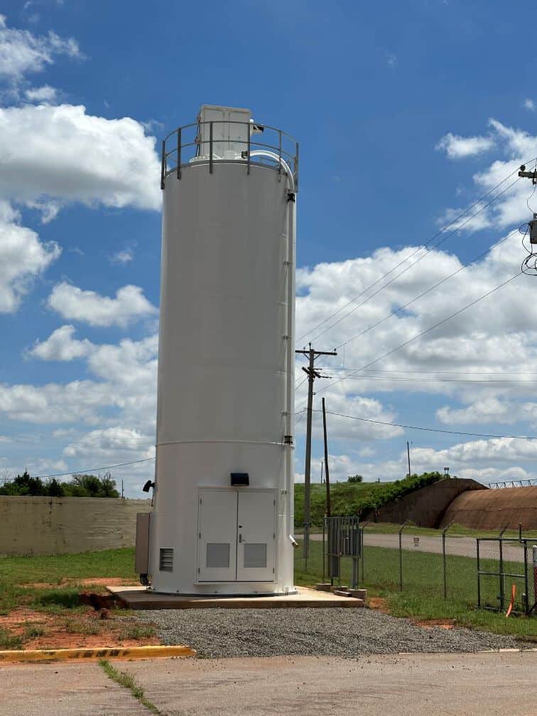
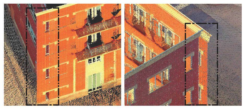
Overlapping or Misaligned Walls
Why Manual Quality Control (QC) Is Essential
Automation is a powerful tool, but it isn’t infallible. Manual quality control plays a crucial role in refining LiDAR datasets. Here’s why QC remains an indispensable step:
- Detecting Subtle Misalignments:
- Automated registration can overlook slight shifts easily identified by an experienced surveyor.
- Ensuring Uniformity Across the Dataset:
- Even minor inconsistencies can accumulate, leading to large-scale registration drift if uncorrected.
- Validating Against Known Control Points:
- By adjusting scans to survey-grade control points, a surveyor ensures the dataset aligns with established geospatial parameters. This process is further verified through ground-truthing, where measurements from independent, higher-quality sources confirm the accuracy and reliability of the final dataset.
The Surveyor’s Role in LiDAR Accuracy
Surveying professionals are more than just operators of advanced technology—they are the bridge between raw data and actionable insights. Here’s how they enhance the LiDAR registration process:
- Planning for Success - Proper scan planning ensures that each capture has sufficient overlap, minimizing gaps and misalignment. Surveyors strategically place control points to anchor the dataset and improve registration accuracy.
- Balancing Automation with Expertise - Human oversight remains critical while automated tools speed up processing. Experienced surveyors know when to override software suggestions, apply manual corrections, and refine results to meet professional standards.
- Documentation and Verification - Accurate record-keeping helps clients understand dataset reliability. Surveyors document their methodologies, ensuring transparency and repeatability in their projects.
- Ground-Truthing for Confidence - By comparing LiDAR results with independent, high-precision measurements, surveyors verify data accuracy and give clients confidence in their geospatial models.
Mitigating Error Distribution in Large-Scale Projects

One effective technique for minimizing registration errors is distributing small adjustments across the dataset rather than compounding errors in a sequential manner. This approach ensures a balanced and well-anchored point cloud, reducing distortions that would otherwise degrade accuracy over large areas.
Debunking the Myth of "Push-Button" LiDAR
Manufacturers often market their LiDAR equipment as “easy” to use, emphasizing its automated capabilities. While these claims aren’t entirely untrue, they can be misleading. The reality is that achieving high-quality results requires:
- Training: Understanding how LiDAR systems work and how to interpret their outputs.
- Licensure or Certifications: Adhering to standards and ethical responsibilities as a licensed surveyor or certified professional.
- Experience: Adapting to unique project challenges and anticipating potential issues.
LiDAR technology is indeed powerful, but it’s not a magic solution. Even the most advanced equipment can produce subpar results without proper planning and oversight.
Conclusion: Automation Is a Tool, Not a Replacement
LiDAR registration is an advanced process but not a one-size-fits-all solution. While automation has improved efficiency, it does not eliminate the need for professional oversight. From planning and data collection to QC and error correction, trained professionals remain essential in producing accurate and reliable LiDAR datasets.
Understanding the strengths and limitations of automation allows surveyors to refine workflows, apply best practices, and deliver superior geospatial products. The next time you hear LiDAR described as "automatic," remember—it’s only as accurate as the expertise behind the controls.
Unlock the Power of 3D Scanning for Your Next Project
Planning a complex survey project requiring a high details? Leverage high-precision 3D scanning for seamless, data-driven results. Contact us today to discuss your project!
